Gippsland Ports produces from time to time various Plans, Bathymetric Surveys and Reports. These publications are published to the website as a service to assist users to view and research aspects of Gippsland Ports. These resources may be used for school projects and are available for download.
Gippsland Ports requests users who access the information to acknowledge the source where utilising it for other purposes.
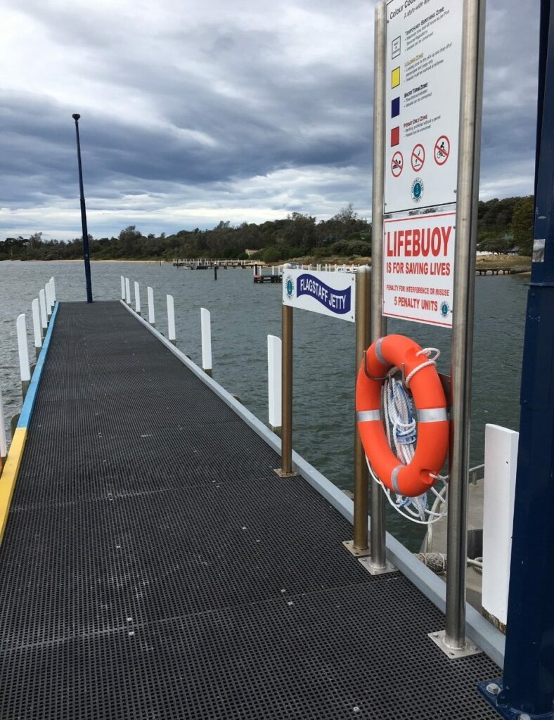
Gippsland Ports is required to develop various plans, both of a short-term and long-term nature. These are generally wide ranging plans, but may also be focussed on specific issues.
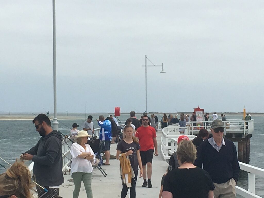
Gippsland Ports undertakes bathymetric surveys on waterways under management to provide navigational information to both internal users and for publication to the public.
Gippsland Ports periodically posts Reports and Information concerning its operations. User should also note that various documents that relate directly to a subject area.
